 |
|
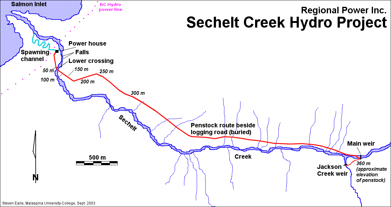
| The Sechelt Creek 16 Mw run-of-river hydroelectricity project
was completed in 1997 by Regional Power Inc. of Toronto. The project is
situated 20 km northeast of Sechelt, British Columbia, and is connected to a 138
kV line of the BC-Hydro
grid. The photos below are from a visit to the site in September 2003. |
|
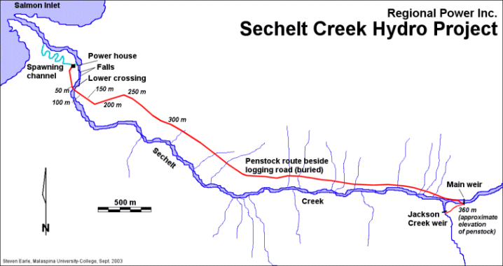 |
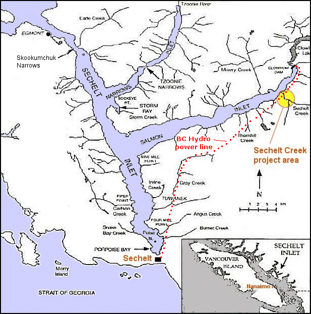
Click here
for a location map of the Sechelt Inlet region. Click here for a bigger
version of the map above. Click on one of the links below to see photos from that
area of the project
Click on any of the images below to see a larger version
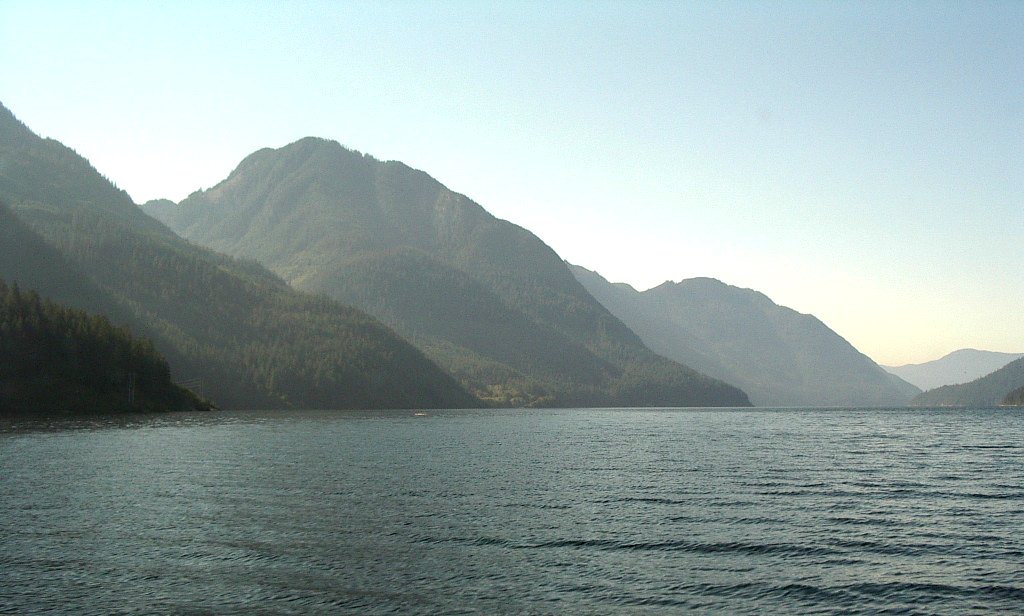
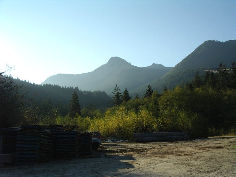
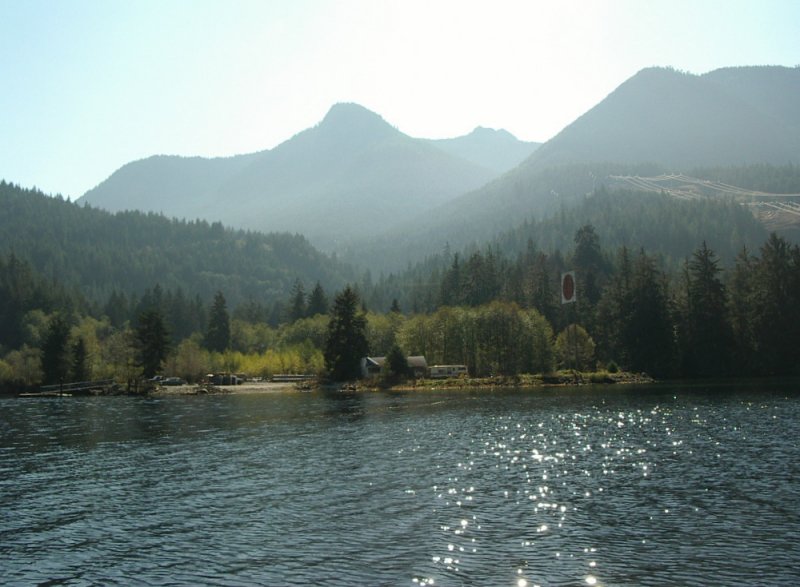
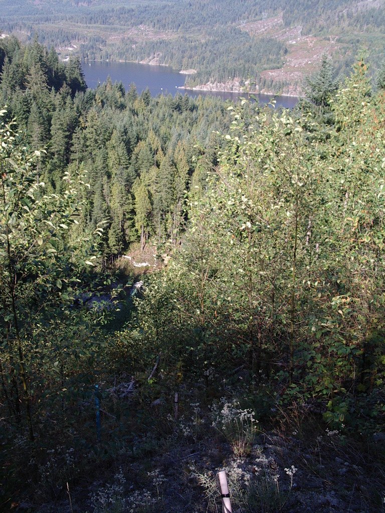
| A view of Salmon Inlet (looking W) and views of the
valley of Sechelt Creek looking (SE) from Salmon inlet |
|
|
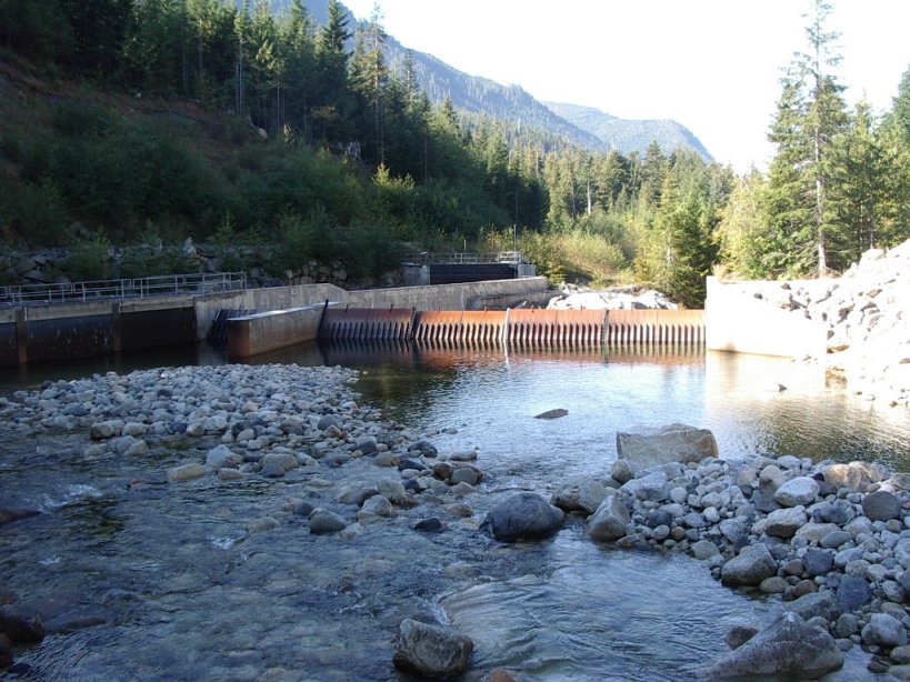
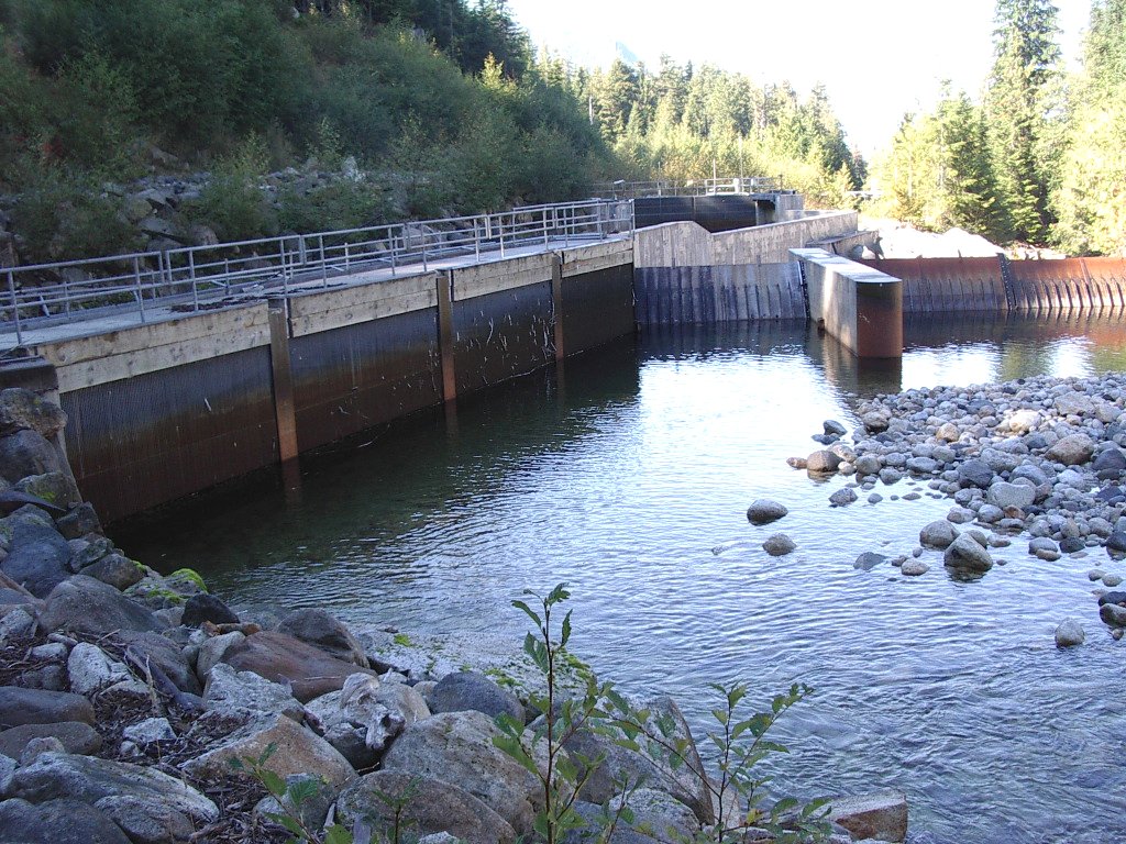
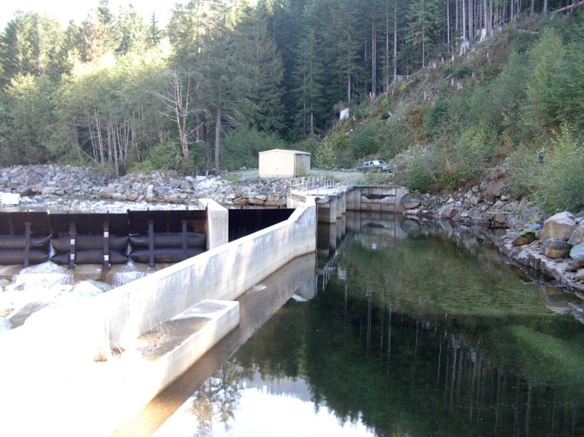
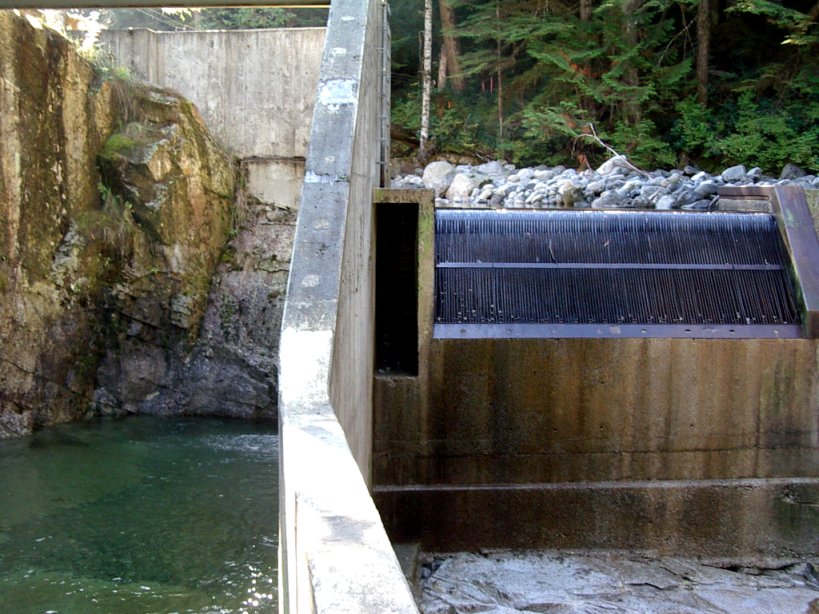
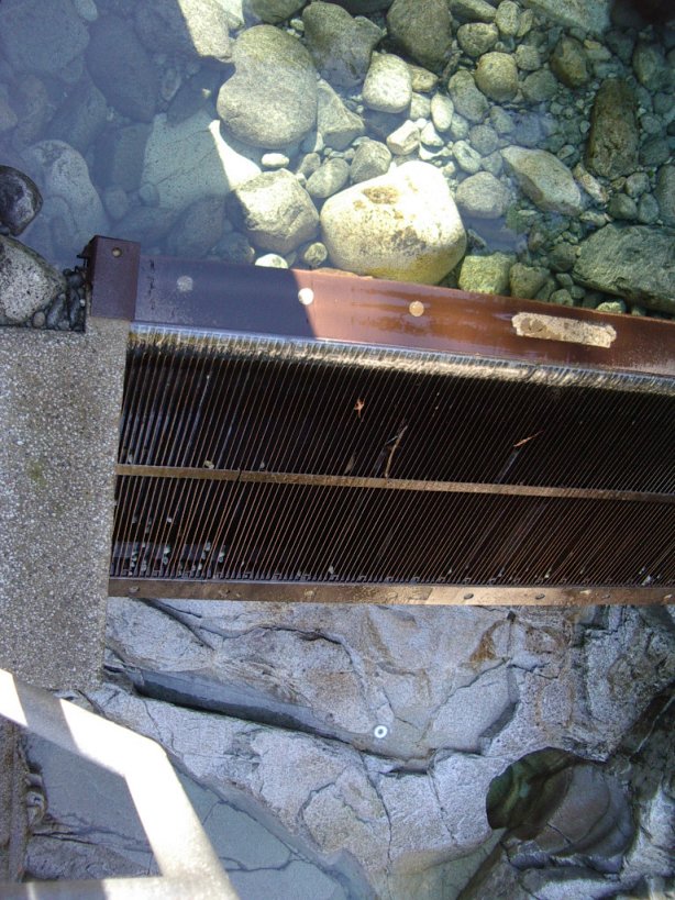
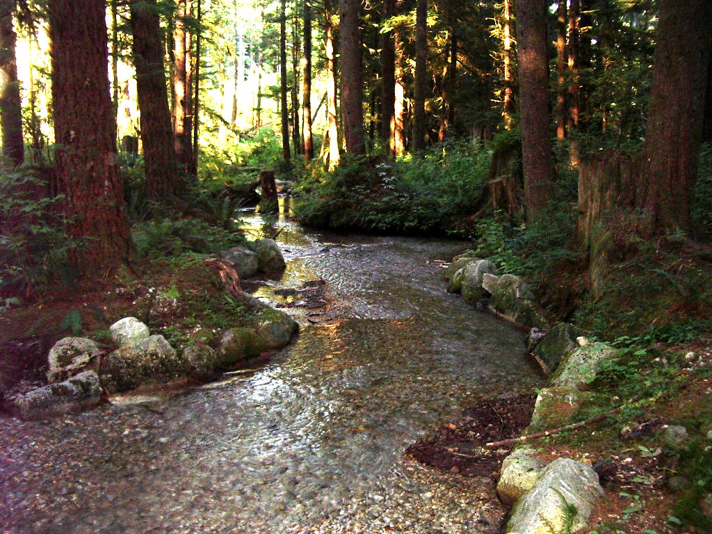
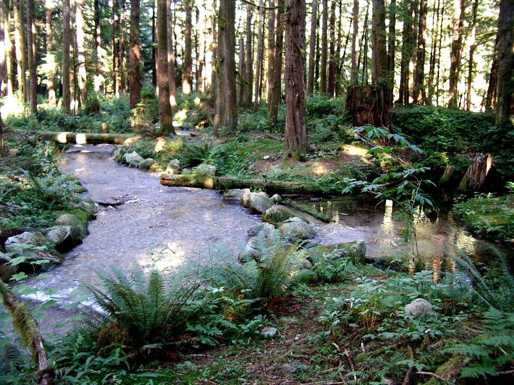
| The main weir, the main intake (both
looking downstream) and the
intake pond (looking upstream) at the 360 m level of Sechelt Creek |
|
|
| Looking upstream and looking down onto the secondary intake on
Jackson Creek, about 200 m from the main intake |
|
|
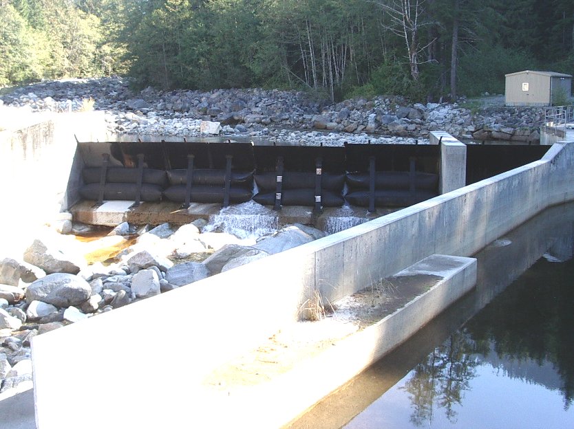
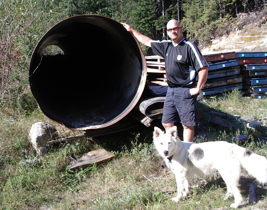
| The intake dam control bladders (looking
usptream), the
first crossing of the penstock over Sechelt Ck. (looking usptream towards
the weir), an
unused piece of the penstock
pipe (with Marlen and his dog Jersey) |
|
|
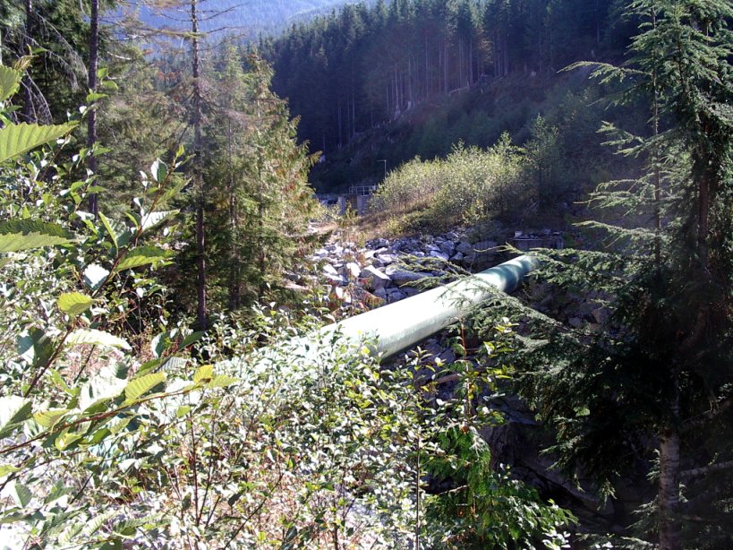
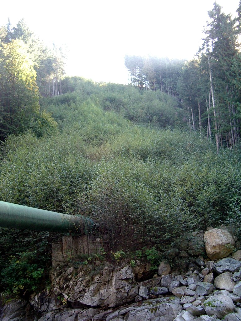
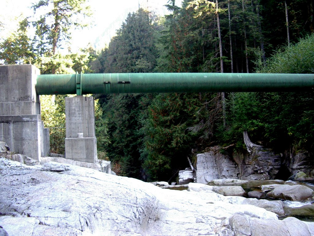
| Top of the steep drop to the
lower crossing (looking down) and bottom (looking up), penstock and
concrete support piers of the lower crossing of Sechelt Creek |
|
|
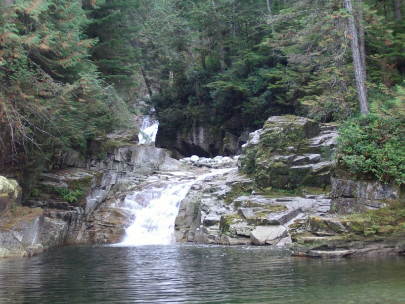
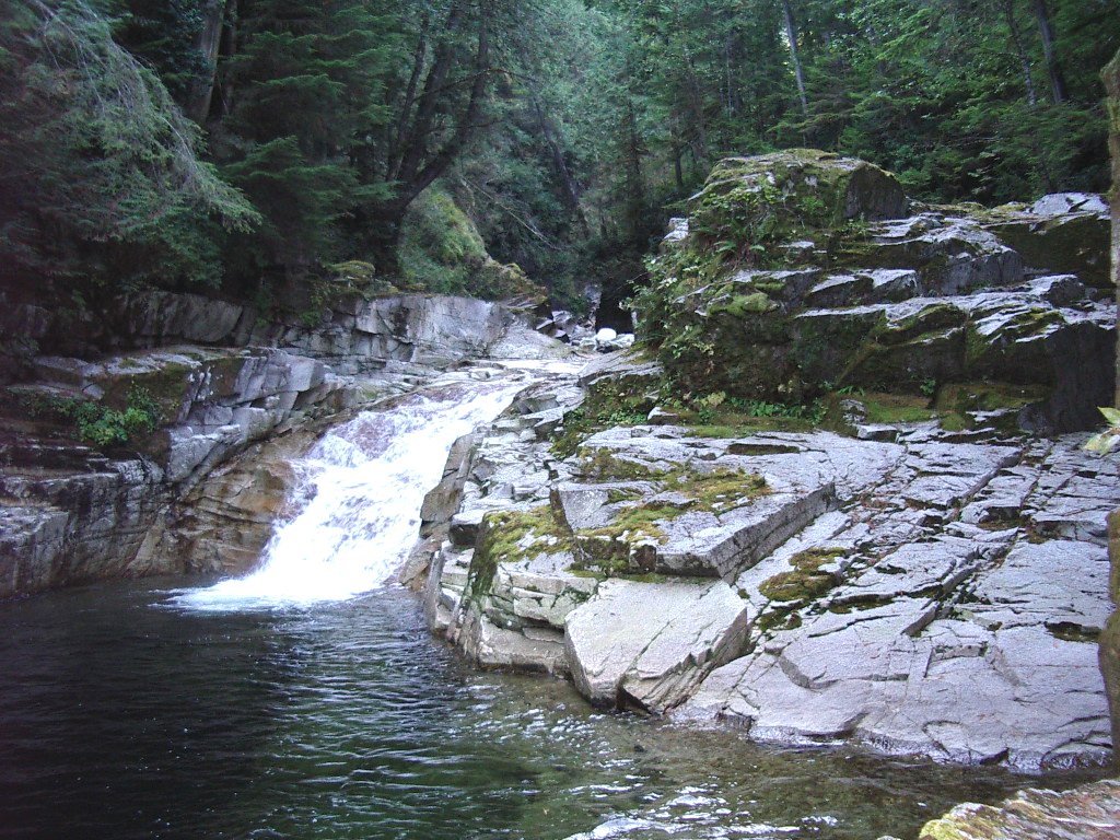
| Two views of the lower part of the
falls, and the natural pool at the base of the falls (Power house behind) |
|
|
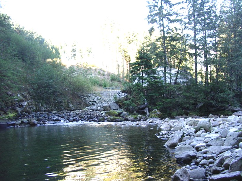
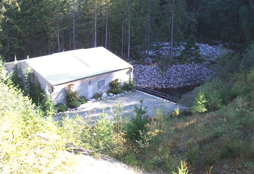
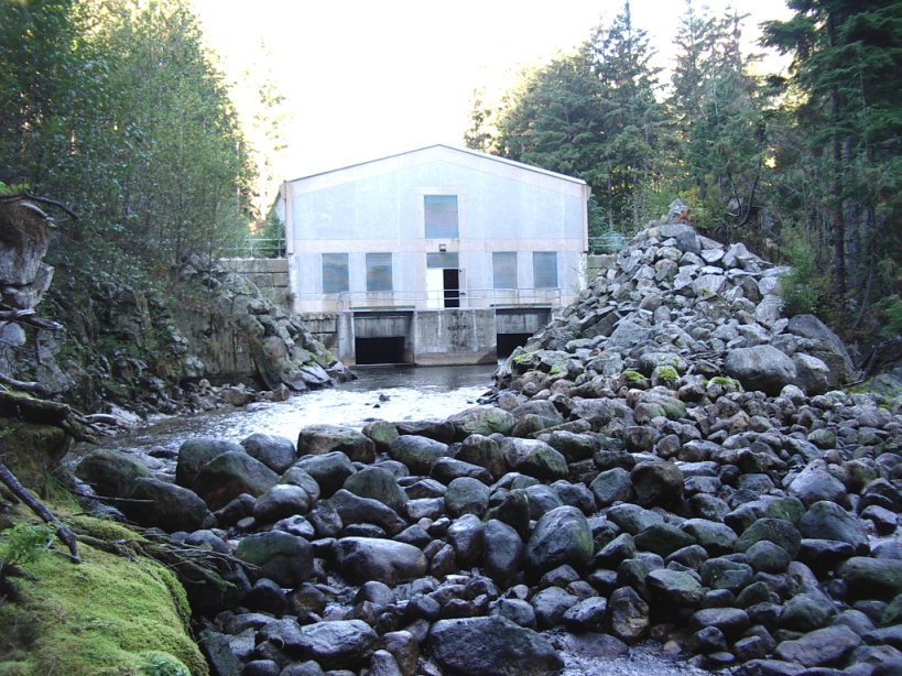
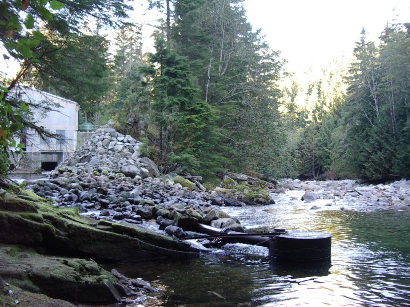
| Power house and part of the mill
race from above (with Sechelt Creek in the background),
power house and the mill race, the mill race entering Sechelt Creek
(showing installation for pumping creek water into the spawning channel if
necessary) |
|
|
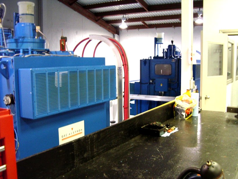
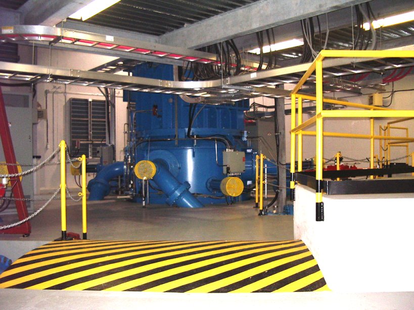
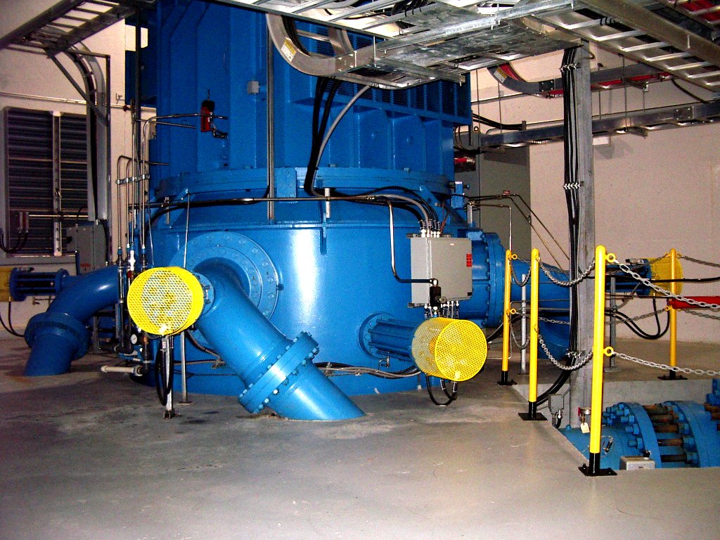
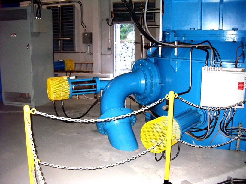
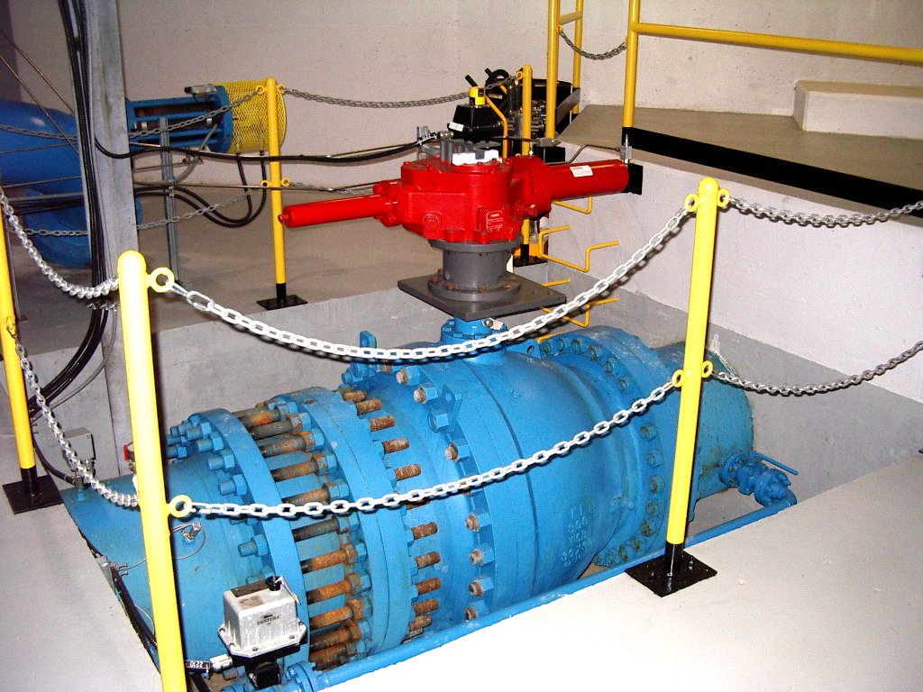
| Inside the power house: Four views of the
two 8.3 Mw turbines, shut-off valve on the pipe leading to one of the turbines, the
transformer and the transmission line leading to BC Hydro's 138 kV Clowhom-Sechelt
line. |
|
|
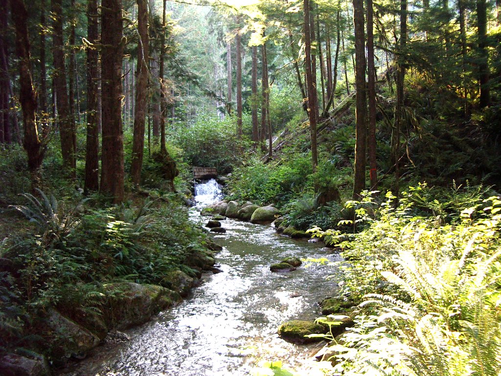
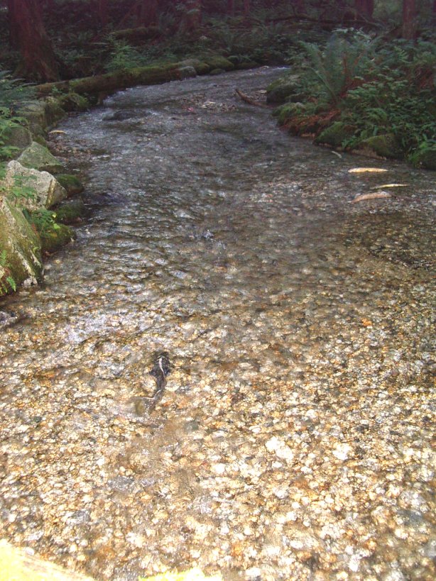
| The constructed salmon spawning channel:
looking upstream towards the outlet from the power house (power house is
about 25 m beyond the outlet), looking
downstream, looking downstream past a refuge side-channel, a spawning salmon
(observed Sept. 30, 2003) |
|
|
Website by: Steven
Earle, Geology Department, Malaspina University-College, Nanaimo, B.C. (http://www.mala.bc.ca/~earles)
October 2003
With thanks to James Carter and Marlen Nerland of
Regional Power Inc. (http://www.regionalpower.com/)